UK weather heatwave thunderstorms bring flash flood risk
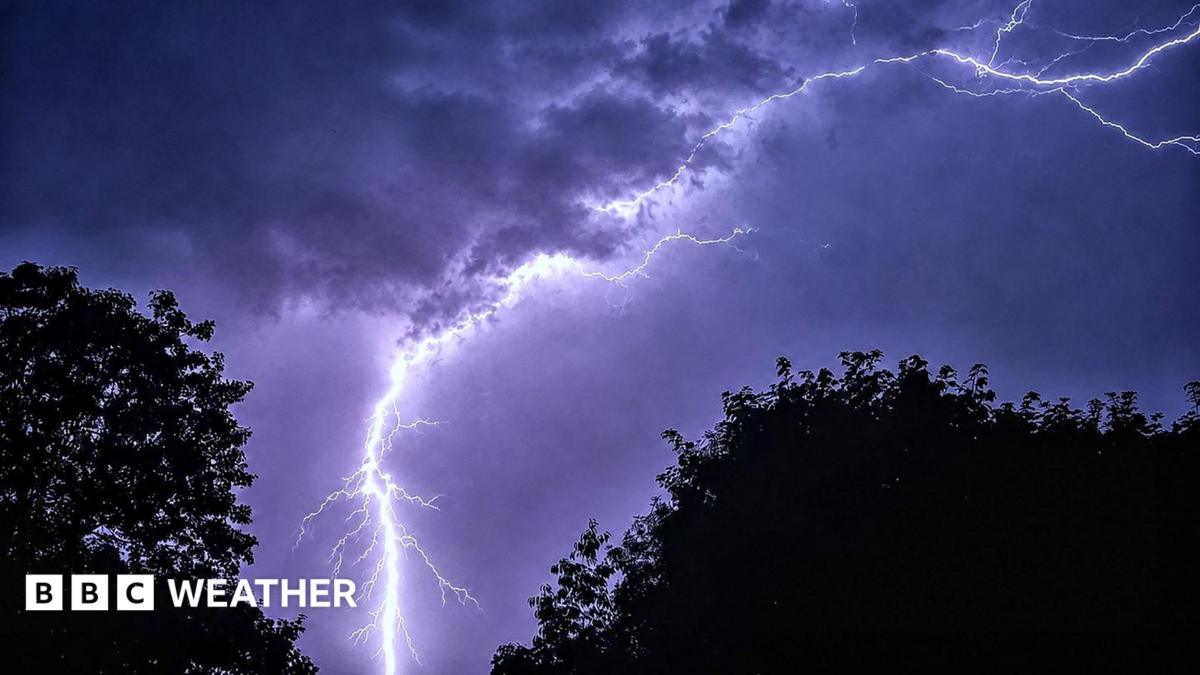
On Tuesday, weather heatwave thunderstorms and flash flood risk will hit parts of the UK as the heatwave's final day brings temperatures above 30C across southern and eastern England, with a Met Office yellow warning for Northern Ireland until 21:00 BST. Much of the south-east may stay dry despite the shift.
Key Takeaways
- Southern and eastern England remain in heatwave conditions Tuesday, with temperatures above 30C possible in places.
- A Met Office yellow thunderstorm warning covers parts of Northern Ireland until 21:00 BST, with up to 30mm of rain possible in an hour or two.
- Flash flooding is a risk where heavy showers hit scorched ground that cannot absorb brief downpours.
- London, Essex, Kent and Surrey are unlikely to see meaningful rain as a cold front crosses the Midlands.
- August is expected to stay relatively dry and warm, so hosepipe bans affecting more than 20 million people are unlikely to end soon.
Where will the thunderstorms strike first?
According to BBC Weather, the heatwave continued into Tuesday after Pershore in Worcestershire and Cavendish in Suffolk hit three consecutive heatwave-threshold days on Monday. Amber and yellow heat health alerts remain across much of England until 09:00 BST Wednesday.
Low pressure that recently brought rain to Scotland, Northern Ireland and parts of northern England is set to trigger scattered showers and thunderstorms on Tuesday and into Wednesday. The Independent reports rain and showers for Northern Ireland, Scotland, western England and Wales, while much of the Midlands, east and south-east stay dry.
The Met Office yellow thunderstorm warning for parts of Northern Ireland runs until 21:00 BST. Up to 30mm of rain in an hour or two is possible, along with strong winds and a chance of hail. Areas that do see a heavy downpour face flash flooding as dry grass and soil struggle to absorb short bursts of intense rain.
Why does the rain miss the driest areas?
A cold front will move southwards across the Midlands and into south-east England on Tuesday, but the BBC says it is unlikely to deliver meaningful rainfall. Parts of the far south-east, including London, Essex, Kent and Surrey, may receive no rain at all.
That pattern has been familiar after the UK's driest and sunniest July on record. The Independent notes England and Wales had their driest July since records began, with 19 English counties recording effectively no rainfall. Wisley in Surrey has gone 47 consecutive days without measurable rain.
Forecast guidance tracked for Future Tech & AI Wonders still points to uneven rain: northern and western areas may catch showers, while drought-hit southern counties remain largely dry.
Will another heatwave follow this breakdown?
The intense heat should be short-lived as the pattern changes from midweek, but August indications favour more low rainfall and above-average temperatures for much of the UK. Further spikes of heat are likely, though extreme highs in the high 30s become less probable as the sun loses intensity.
Hosepipe bans affecting more than 20 million people in England and Wales are unlikely to be lifted soon. Spells of 30C or higher remain possible even into September, so any thunderstorm relief this week will not end the wider drought story.