Weather Bristol: Rain likely overnight Sunday, Met says
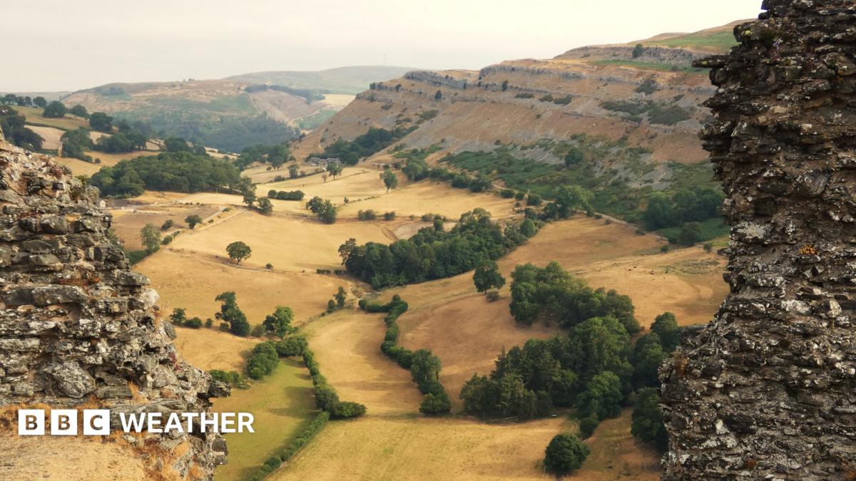
Weather Bristol is set to turn briefly wet early on Sunday, 26 July, with Met Office guidance pointing to rain between midnight and 7am and an 80 per cent chance. UK-wide, a dry spell ends for many this weekend as fronts move south-east, though southern totals look light and patchy.
Key Takeaways
- Bristol has an 80 per cent chance of rain from midnight to 7am on Sunday, 26 July, according to Met Office timing cited by Bristol Live.
- Nearby towns also see overnight chances: Taunton 4am-9am (80%), Wells midnight-8am (95%), Minehead 1am-7am (90%), Gloucester only 5am-7am (30%).
- BBC Weather says high pressure is retreating west, letting the jet stream steer fronts across the UK after weeks of heat and drought stress.
- Rain in the Midlands, south and east may be only a few millimetres, and is not expected to halt a slide toward wider drought.
- Next week looks wetter in the north-west, while southern England may stay largely dry with warmth returning.
When will it rain next in Bristol and nearby towns?
Local Met Office windows shared by Bristol Live put most of the action overnight rather than through the daytime.
For weather Bristol watchers, Sunday from 12am to 7am is the main slot, with an 80 per cent chance of rain. Bath has a lighter Saturday evening chance (8pm-11pm, 30%) before a stronger Sunday overnight window (midnight-7am, 70%).
Elsewhere in the region, Taunton is listed for Sunday 4am-9am (80%), Yeovil 6am-9am (70%), Minehead 1am-7am (90%), and Wells Saturday 10pm-midnight (40%) plus Sunday midnight-8am (95%). Gloucester is thinner: Sunday 5am-7am at only 30%.
Forecasters stress it will not be a prolonged downpour. Expect shower, drizzle and light amounts, and some places may see little rain at all.
Will the weekend rain end the UK dry spell?
Nationally, the answer is mixed. BBC Weather reports that high pressure is moving westward—a pattern called retrogression—so the jet stream can steer fronts over the UK this weekend.
Hills in Northern Ireland, northern England and north Wales may see 5-10mm. Western Scotland could get 10-20mm over high ground. The Midlands, southern and eastern England are more likely to see just a few millimetres, and some areas could miss out.
That matters because parts of Wales are already in drought after back-to-back heatwaves and a drier-than-usual April to June. Most of England has had less than 10mm since mid-June, with Wisley in Surrey on a 36-day dry run. A Thames Water hosepipe ban began on Thursday alongside other southern bans.
BBC lead weather presenter Chris Fawkes says the rain may double mid-June totals in some spots and ease parched gardens, but it will not stop a slide toward more widespread drought.
What happens to the weather after this weekend?
Met Office chief meteorologist Dan Suri said weather fronts moving south-east bring a temporary change after prolonged hot, dry, settled weather. For much of southern England, dry conditions remain dominant, with temperatures recovering quickly next week and a chance of very warm or locally hot weather returning.
Sunday should be the coolest day of the weekend for many, nearer seasonal averages. BBC guidance for next week concentrates further rain in the north-west, with the Highlands possibly very wet late in the week, while little if any rain is expected in the south and east.
Early August could turn more widely unsettled, though any later heatwave signal from Spain and France is still too early to pin on the UK. For more forecast explainers in this hub, see Future Tech & AI Wonders on BlasterPost.