UK heat relief this week may not last as second heatwave looms
The UK is cooling after record June heat, with Atlantic winds and showers bringing mid-20s temperatures this week. Met Office extreme heat warnings are gone and fresher air is settling in. Forecasters warn relief may be brief: high pressure from the Azores could fuel a second heatwave in early July, with some models hinting at 30C-plus again.
Key Takeaways
- June heat records fell three days running, peaking at 37.3C in Santon Downham, Suffolk.
- The Met Office has lifted all extreme heat warnings; mid-to-low 20s are expected for most of the UK this week.
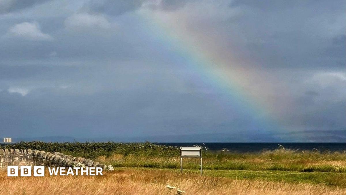
- Atlantic low pressure will bring rain to northern and western areas while the southeast may stay largely dry.
- Forecasters see signs that Azores high pressure could return from the weekend, raising early July heatwave risk.
- Long-range models are uncertain, but some suggest temperatures could climb back toward the low or mid-30s.
Why is the UK cooling down this week?
After a historic spell of extreme heat, Britain is shifting to a cooler, more Atlantic-driven pattern. The high-pressure system that drove last week's blistering conditions has moved into eastern Europe, according to BBC Weather.
South-westerly winds from the Atlantic have arrived, lowering temperatures and humidity nationwide. Netweather reports that a strong westerly jet stream will steer low-pressure systems east across northern areas through the week.
Monday looks largely dry with sunny spells, while Tuesday brings showers or longer rain to northern and western Britain. Some downpours could be heavy and thundery. Southeastern England may miss much of the wet weather and see the week's highest readings, around 25-27C on Sunday and roughly 25-26C later.
When did the record-breaking June heatwave end?
The Met Office lifted its final extreme heat weather warning on Sunday morning after an amber alert for parts of southeast England expired at 9am, The Independent reported. Rare red extreme heat warnings, previously issued only once before, had covered large swathes of the country during the peak.
The UK recorded three consecutive days of record June temperatures, culminating at 37.3C in Santon Downham on Friday. That surpassed the prior June benchmark of 35.6C set in 1976. The UK Health Security Agency has also lifted heat-health alerts across much of England.
Fresher air moved in from the west on Sunday. Meteorologist Liam Eslick said most of the UK would see a typical summer's day, with eastern England still feeling warm while northwestern areas dropped into the teens.
Could a second heatwave hit the UK in early July?
Forecasters say the cooldown may not last. BBC Weather notes that high pressure extending from the Azores could park over the UK and western Europe from the weekend into early next week. It is not out of the question that this could develop into another heat dome with rapidly rising temperatures.
Netweather's Nick Finnis writes that signs point to heat returning to southern Britain during the week commencing Monday 6 July, as the jet stream shifts north and Azores high pressure extends northeast. ECMWF ensemble data for London suggests temperatures could climb back toward or into the low 30s, with some members reaching the mid-30s.
BBC Weather adds that the heatwave threshold may again be triggered in southeastern England in early July. Some models even mirror June's pattern with extremes near 35C, though confidence remains low. For broader UK alert coverage, see our Fintech & Crypto Alerts hub.
What should people expect day by day this week?
Tuesday's low pressure should bring the wettest weather to the north, with thunderstorms possible in Scotland and Northern Ireland. A second Atlantic system arrives Wednesday night, favouring rain and stronger winds in Northern Ireland before moving toward Scandinavia.
Thursday may start with blustery showers in Scotland before drying out. Friday could see another deep low pass near Scotland, bringing gales and heavy rain to northern areas while southern England stays mostly dry.
Looking ahead, Netweather warns that even if high pressure builds from the southwest next weekend, Atlantic systems could still bring showers to the north. If that ridge strengthens, southern temperatures could rise again — but forecasters stress there is no certainty yet.