Summer temperatures BBC weather: more heatwaves ahead
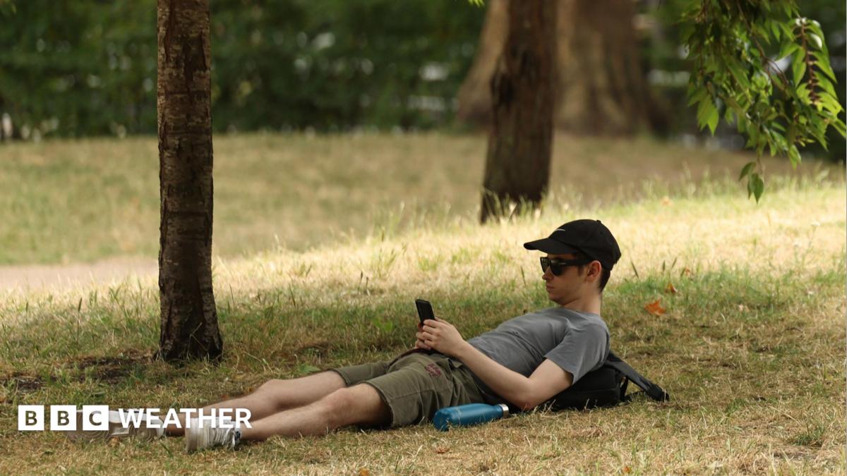
Further UK heatwaves remain possible in late July and August even as the current spell eases, according to summer temperatures BBC weather outlooks. Long-range signals still favour above-average heat, especially in England and Wales, after a record-breaking start that has already outpaced iconic 1976 benchmarks. Forecasters say the second half of summer could turn more changeable, with rain returning at times in the north, while southern areas stay relatively dry and warm.
Key Takeaways
- BBC Weather and Met Office long-range trends still point to above-average temperatures into early August, with further hot spells possible.
- Summer 2026 has already broken several heat records once associated with the legendary drought year of 1976.
- Central and south-east England logged a 14-day stretch with no recorded rain from 2 to 15 July, the longest regional dry runs since the mid-1990s.
- London's formal heatwave is expected to end this weekend, but Met Office guidance says settled warmth looks locked in for another week or so.
- Hosepipe bans, dry soils and wildfire risk underline why another hot spell would matter beyond beach weather.
For readers who follow how extreme summers echo past landmarks, this story sits alongside other Then & Now nostalgia coverage comparing today's climate milestones with the summers people still remember.
Will there be more UK heatwaves later this summer?
Yes, they cannot be ruled out. BBC Weather lead presenter Ben Rich says there is a high chance temperatures will stay largely above average through late July and August.
Computer models are mixed, so day-by-day certainty is low. DTN, the BBC's weather data supplier, suggests low pressure may feature more over the next couple of weeks, especially for Scotland and Northern Ireland, bringing wetter spells.
Further south, the Azores high is likely to stay nearby, blocking some fronts and keeping conditions drier, though not necessarily rain-free. Temperatures are most likely to remain above the seasonal norm in England and Wales, where further hot spells or heatwaves remain possible into early August.
The Met Office long-range outlook hints that high-pressure influence may ease late in July, raising shower and thunderstorm chances, first in the north and later spreading south at times. August may start changeable, still with above-average temperatures and a chance of more hot spells.
How does summer 2026 compare with the famous heat of 1976?
Then and now, the parallel is striking. Many Britons still treat 1976 as the gold standard of a scorched summer. By mid-July 2026, several of those historic markers had already been overtaken.
A late-spring heatwave set a new May temperature record. June then produced a new UK June record of 37.7C at Lingwood in Norfolk, beating the previous 35.6C mark from 1976. A third heatwave in July lasted about two weeks in places.
The UK has already logged six days at 35C or above this summer, passing the previous record of five days set in 1976. Days at 34C or above stand at nine so far, against eight in 1976. By 15 July, the UK had recorded more days above 30C than in the whole of 1976.
2026 is also the first year on record to reach 35C in three separate calendar months: May, June and July. Met Office science manager Amy Doherty said the season is already one of the most remarkable UK summer starts on record, with warm nights and unusual humidity adding to daytime heat.
England's mean temperatures have been running about 2.4C above a typical average near 21C. Wales is roughly 2.2C above its seasonal norm, while Scotland and Northern Ireland remain closer to average but still warmer than usual.
Why have summer temperatures stayed so high this year?
Persistent high pressure has allowed heat to build, while scant rain has dried soils. Dry ground amplifies daytime heating because less solar energy goes into evaporating moisture, leaving more to warm land and air.
Sea-surface temperatures around the UK have also been much higher than normal, with a marine heatwave reducing the usual coastal cooling effect and helping keep nights warmer. Climate change is another key driver: the Met Office says extremes once rare are becoming a new normal, with the UK warming about 0.25C per decade since the 1980s.
Deputy chief meteorologist David Hayter noted that somewhere in the UK had reached or exceeded 30C every day for 11 consecutive days. He warned that dry soils could again challenge heatwave criteria in the second half of summer after three significant heatwaves and very little rainfall for many.
Is London's heatwave over, and how dry has England been?
In the capital, the formal heatwave threshold of 28C has been crossed almost daily since 5 July, with highs up to 34C. Forecasters told the Evening Standard the heatwave should end this weekend, with about 25C on Saturday and 24C on Sunday, then early-next-week highs near 24C to 25C.
Met Office spokesman Graham Madge said settled fine conditions look locked in for the next seven to ten days. Hayter added that high pressure will shift enough for a cooler northerly flow to end the run of 30C days, though some places may still meet heatwave criteria into the end of the week.
Dryness has been as notable as the heat. BBC Weather reports some southern England sites with no measurable rain for more than four weeks. Met Office HadUKP figures, reported via Sky News, show central and south-east England averaging zero rainfall for 14 days from 2 to 15 July.
That is the longest unbroken zero-rain run for the south-east since a 15-day spell in April 1997, and for central England since a 14-day run in June 1996. Hosepipe bans already affect millions of households, and dry vegetation has fuelled wildfires, including recent fires in London that caused major disruption.
Long-range forecasts remain uncertain, but the trend is clear enough for planners and households: above-average warmth is still favoured, further heatwaves are possible, and any late-summer hot spell would arrive on already parched ground. Keep checking official Met Office and BBC forecasts as August approaches.