Summer dry spell continues as parts of UK cool briefly
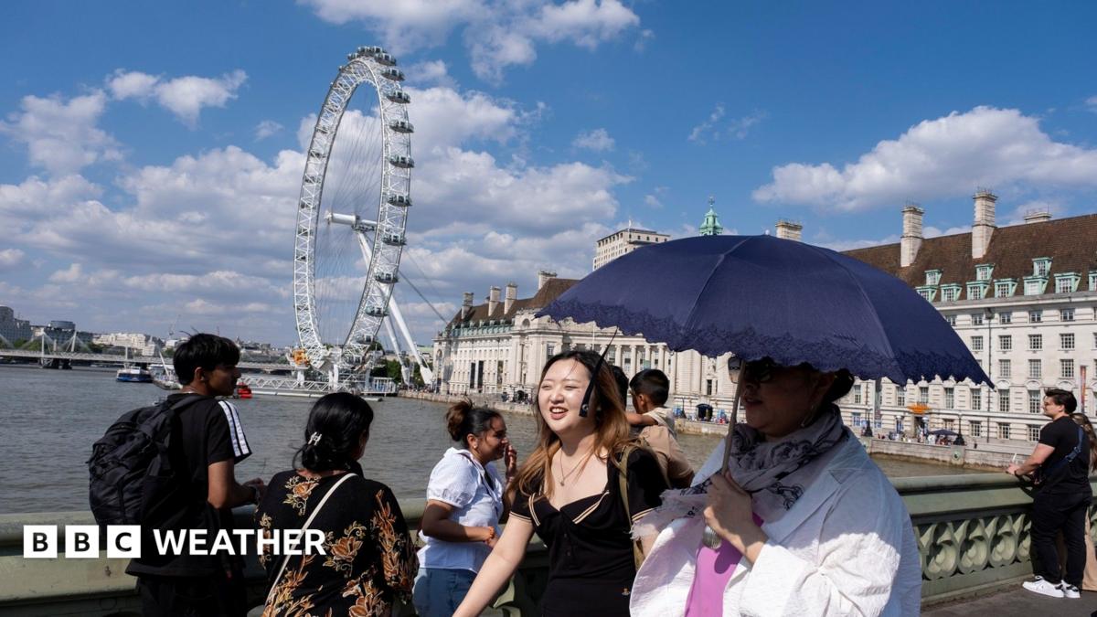
Parts of the UK are set for a brief cooler spell after weeks of heatwave weather, but the summer dry spell looks set to continue. Northerly winds will cut temperatures in northern and eastern areas, while high pressure keeps rainfall scarce inland and heatwave criteria may return in the south later this week.
According to the BBC Weather forecast, the third heatwave of 2026 is easing as northerly winds bring fresher air. Parts of England have already seen more than two weeks of heatwave conditions, and some central areas have logged their longest dry stretch since 1997.
That break in the heat matters because dryness is not ending with it. Wildfire risk remains elevated under hot, dry conditions, and smoke can worsen air quality for communities far from the flames. For related planning reads on budgets and side income, see wealth hacks and passive income.
Key Takeaways
- Cooler northerly winds will trim temperatures most in northern and eastern Scotland and eastern England, by around 5C versus last week.
- The summer dry spell is expected to persist, with less than 5mm of rain forecast for most places in the week ahead.
- Southern England and south Wales could briefly cool, then hit heatwave criteria again later this week.
- Experts say extreme heat and dry vegetation have fuelled a nationwide “firewave,” with emergency services dealing with multiple wildfires.
- Met Office science links more frequent, intense heatwaves to human-induced warming becoming a “new normal.”
How much cooler will the UK feel this week?
High pressure lingering in the Atlantic to the west of the UK will keep winds rotating clockwise, feeding a northerly airflow across the country. The BBC says the biggest temperature falls will be felt near the east coast, especially in northern and eastern Scotland and eastern England.
Those regions could run about 5C cooler than last week. Further south and west, the drop will be smaller. Bournemouth has already recorded 15 days above its 26C heatwave threshold, and that run may continue for at least another full week.
For some southern areas, the cooler interlude may be very brief. Heatwave criteria could be met again later this week in parts of southern England and south Wales, extending the hot spell into a third week in places.
Will the summer dry spell bring meaningful rain soon?
Rainfall has already been uneven. Eastern and north-eastern England have received only around half their expected summer rainfall so far, the BBC reports. Wisley in Surrey has gone 31 dry days, and a large swathe of central England is in its longest dry spell in 30 years.
With high pressure dominating over the next week, many places will see little or no rain. Forecast rainfall is under 5mm for most of the UK. North-west Scotland is the main exception, where frontal systems may deliver up to 30mm through the week.
A few coastal showers are possible elsewhere, but many inland areas could rack up at least five more completely dry days. In short, a temperature break does not equal an end to the summer dry spell.
Why are wildfire risks still high during this dry spell?
The Guardian reports that the UK has been in a “firewave,” as extreme heat creates ideal wildfire conditions. As of mid-July reporting, the National Fire Chiefs Council said emergency services were dealing with 19 wildfires across Britain, many nearer urban areas than remote countryside.
Blazes have burned in North Yorkshire, County Durham, Greater Manchester, East Sussex, West Sussex, Devon, Somerset, London and elsewhere. Claire Belcher of the University of Exeter’s Wildfire Lab called it the most widespread UK firewave seen, with fires burning “right across the country.”
Major incidents were declared in north Wales, where residents near Conwy were briefly evacuated, and in Derbyshire around a large moorland fire at Tintwistle Moor on tinder-dry ground. Natural England warned of “exceptional” fire risk in pockets of southern Britain and “very high” risk across much of England and Wales.
Scientists say consecutive days above 30C with little rain dry plants and soils faster than they can recover, turning vegetation into ready fuel. Smoke mixed with heat can worsen air quality and raise respiratory and cardiovascular risks far from the flames.
What does this mean for the rest of summer?
BBC Weather notes that scientists are confident human-induced warming is making heatwaves more frequent and intense. The Met Office’s State of the UK Climate report says extremes that once felt rare are becoming the “new normal,” with UK temperatures rising about 0.25C per decade since the 1980s.
For now, the practical takeaway is clear: cooler days in the north and east offer limited relief, but the summer dry spell and wildfire backdrop remain. Stay alert to local fire guidance, expect limited rain inland, and plan outdoor work or travel with the dry, warm pattern still in charge.