Saharan dust collides with heat dome, trapping Southern heat
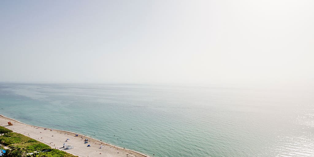
A massive Saharan dust plume has collided with a life-threatening heat dome across the South, trapping dangerously hot air over Florida and the Gulf Coast. For anyone tracking Tampa weather this weekend, hazy skies, choked-off afternoon storms, and heat indices climbing toward 110°F signal one of the summer's most punishing stretches.
The Saharan Air Layer is a mass of very dry, dusty air lofted high above the Atlantic after forming over the African desert. According to FOX Weather, this plume traveled more than 5,000 miles through the Caribbean and Atlantic before blanketing the Gulf Coast. It arrives as sinking high pressure compresses and warms air already baking the region.
Key Takeaways
- A Saharan dust plume combined with a Southern heat dome is trapping extreme heat across Florida and Gulf Coast states.
- Tampa weather and nearby communities face hazy skies, poor air quality risks, and feels-like temperatures near 110°F.
- Dry, dusty air is suppressing afternoon thunderstorms that normally cool summer afternoons.
- Limited tropical storm development is expected while the Saharan Air Layer remains overhead.
- Dust concentrations peak through the weekend and may linger across the Gulf Coast into next week.
What Is the Saharan Air Layer Reaching the U.S.?
The Saharan Air Layer, or SAL, consists of extremely dry, dusty air pushed westward by strong upper-level winds. The Weather Channel explains that outbreaks off Africa's west coast emerge every three to five days during peak season from late June through mid-August.
At times, a single plume can spread across an area as large as the entire lower 48 states. This week's layer began affecting Florida early Wednesday and is forecast to concentrate statewide by Saturday, with the highest dust levels spreading across the Gulf of Mexico by Sunday.
Why Is Saharan Dust Making the Heat Dome Even More Dangerous?
Beyond painting milky skies and vivid sunsets, the dust can act like a thermal blanket. FOX Forecast Center meteorologists warn the layer allows surface temperatures to soar by stifling the showers and thunderstorms that usually deliver afternoon relief.
Florida remained under widespread heat advisories as record highs were challenged from Gainesville through Tampa and south to Cape Coral. Combined with abundant sunshine and sinking air from high pressure, the result is a heat dome that refuses to break.
How Is Dry Saharan Air Shutting Down Storm Activity?
Dry air is the story behind suppressed storm activity, as Yahoo News and multiple forecast centers have noted. Weather.com meteorologist Caitlin Kaiser says SAL air carries roughly 50% less moisture than a typical tropical environment, while embedded winds of 25 to 55 mph can tear apart developing systems.
That dryness stabilizes the atmosphere and makes cloud formation difficult. Across the Atlantic basin, the layer is contributing to a pause in hurricane activity and limiting thunderstorm chances along the U.S. coastline for days.
Who Should Watch Tampa Weather and Air Quality This Weekend?
Residents across the Tampa Bay region and broader Southeast should expect noticeably dusty air through most of next week. FOX Weather cautions that thick dust may degrade air quality, especially for people with asthma, allergies, or other respiratory conditions.
Advanced satellite tools now let meteorologists track SAL outbreaks from formation over the Sahara to landfall in Florida—a capability highlighted in our Future Tech & AI Wonders coverage of next-generation forecasting. Limit strenuous outdoor activity, stay hydrated, and monitor local advisories as the heat dome and dust plume overlap.