Houston weather: weekend rain builds, Monday flood risk
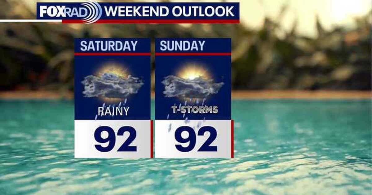
Houston weather turns wetter this weekend as tropical Gulf moisture pushes into Southeast Texas. After spotty Friday storms fade by sunset, expect daily rounds of showers and thunderstorms Saturday through Tuesday—not all-day rain, but heavier downpours with localized street flooding possible, especially Monday.
Friday's update from Gulf Coast forecasters signals a shift from hit-or-miss afternoon storms to broader weekend coverage. Highs remain in the low to mid 90s with steamy humidity, but deeper moisture means more neighborhoods could see meaningful rain before the workweek begins.
Key Takeaways
- Spotty Friday storms should wind down by sunset, leaving drier conditions for evening plans.
- Tropical Gulf moisture increases rain chances Saturday through Tuesday, with heavier downpours possible.
- Models point to Monday—and possibly Tuesday—as the peak window for widespread rain and localized flooding.
- The tropics remain quiet for now, though hurricane season runs through November.
What's the Houston weather forecast for this weekend?
According to FOX 26 Houston, deeper Gulf moisture keeps pouring in through the weekend, bringing more clouds and higher rain chances than Friday. Space City Weather expects coverage of daily summer thunderstorms to increase gradually, with Saturday and Sunday bringing scattered afternoon showers and storms.
Rain will not fall nonstop, but repeated downpours could soak some areas while others stay dry. Many locations may see little rain, though some neighborhoods could pick up a quick inch or two. High temperatures should hold in the low to mid 90s, though clouds and storms may briefly cool some areas.
When is the heaviest rain expected in Houston?
FOX 26 notes that forecast models currently flag Monday as the highest risk for heavy rain. Space City Weather warns that a front, Gulf moisture, and an upper-level disturbance could produce concentrated heavy rainfall Monday and Tuesday, with flash flooding possible—especially east of downtown.
KHOU 11 has issued a Weather Impact Alert for scattered storms this weekend carrying into a flood threat on Monday. The eastern part of the Houston area sits in a slight flood risk zone for Monday that may extend into Tuesday.
Could flooding affect Houston early next week?
Forecasters stress that while storms should move quickly enough Friday to limit flooding concerns, repeated weekend and early-week downpours raise the odds of localized street flooding. Space City Weather expects its flood scale to rise to Stage 1 or possibly Stage 2 for Monday and Tuesday.
Residents in the eastern part of the metro should monitor conditions closely. Modern forecast and monitoring tools continue to refine rain timing, but fast-moving summer storms can still overwhelm drainage in minutes.
What should Houston residents watch in the tropics?
Despite the wet local pattern, FOX 26 reports the tropics remain mainly quiet. El Niño conditions, Saharan dust, high wind shear, and dry air make tropical development difficult right now, and the National Hurricane Center expects a quiet Atlantic, Caribbean, and Gulf for the next seven days.
Peak hurricane season does not arrive until September 10, and the season runs through November. Houstonians should stay prepared even when the tropics are calm, as conditions can change quickly during a long season.