El Niño reshapes 2026 Atlantic hurricane season outlook sharply
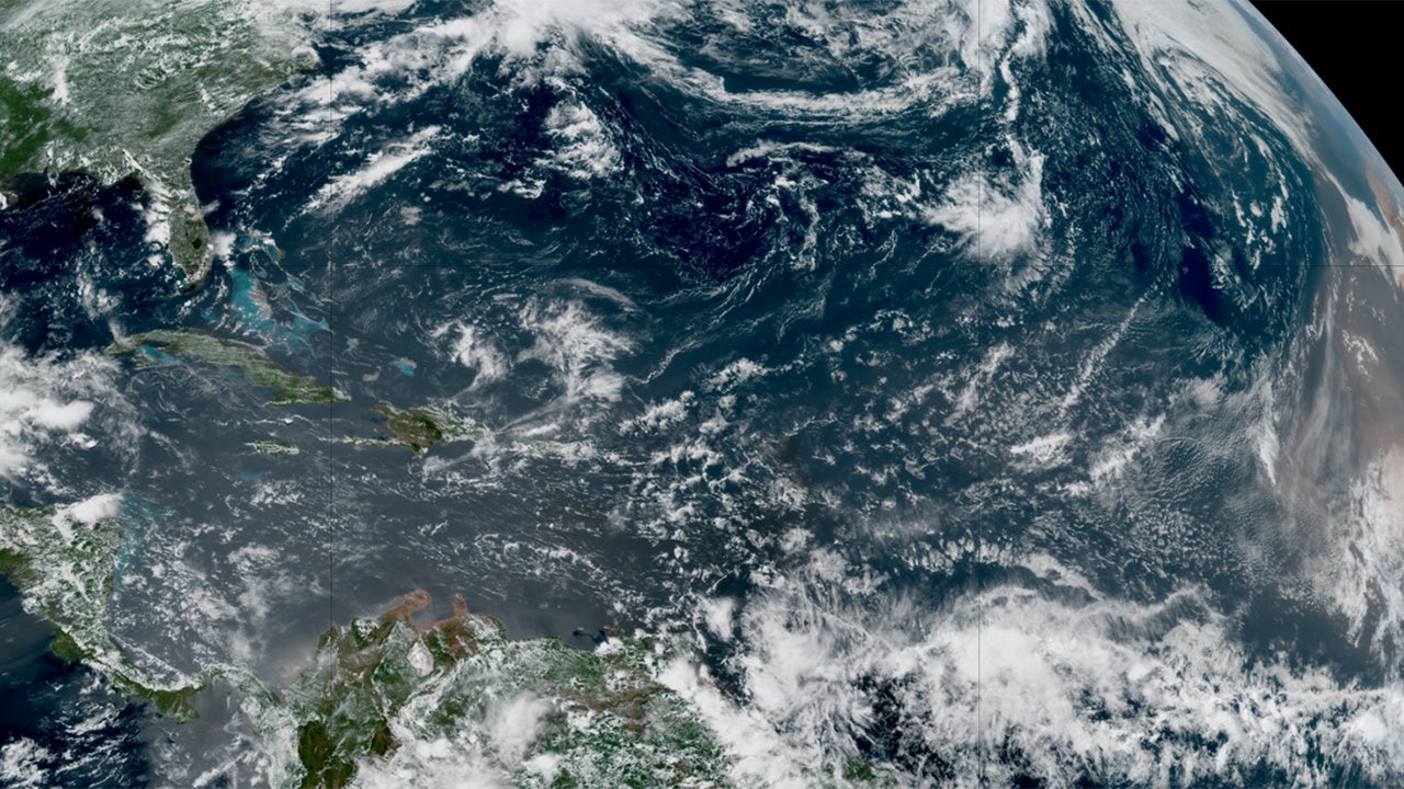
A strengthening El Niño is reshaping the nino hurricane season outlook for 2026: Colorado State University now expects just nine Atlantic named storms—well below the 14-storm average—and warns that intensifying Pacific warming will fuel wind shear hostile to hurricane development through the summer peak.
CSU released its revised forecast on July 8, calling the Atlantic basin outlook "well below-normal" and potentially the least active in more than a decade. Officials stress that one landfall can still make the year devastating for any community in the path.
Key Takeaways
- CSU cut its 2026 Atlantic forecast to nine named storms and four hurricanes on July 8, down from 13 storms predicted in April.
- Forecasters cite a strengthening El Niño that could rank among the strongest on record, driving high vertical wind shear across the tropics.
- The probability of a major U.S. hurricane landfall fell to 17%, well below the long-term average of 43%, per CSU.
- Gulf Coast hurricane landfall odds dropped from 20% to 10% between CSU's June and July updates.
- Only Tropical Storm Arthur has formed so far in 2026, hitting the Texas coast in June; the next named storm would be Bertha.
Why did forecasters slash the 2026 hurricane numbers?
The July downgrade reflects growing confidence that El Niño will dominate the heart of hurricane season. In an email to USA TODAY, CSU researcher Phil Klotzbach said the team "knocked down our numbers more given the increased likelihood for a strong El Niño" and does not "anticipate much happening in the Atlantic."
Compared with CSU's June 10 outlook of 11 named storms and five hurricanes, the latest call is notably quieter. The shift also follows an April forecast of 13 storms that already anticipated below-average activity before El Niño's signal strengthened further.
How does El Niño quiet the Atlantic basin?
El Niño warms equatorial Pacific waters and ripples through global weather patterns. During strong events, forecasters expect more sinking, dry air and higher vertical wind shear over the Caribbean and parts of the Atlantic—the scissor-like wind pattern that can shear off developing storm tops before they strengthen, WPLG-TV hurricane specialist Michael Lowry told USA TODAY.
CSU wrote that it expects "the powerful El Niño being the dominant factor for the upcoming hurricane season, driving high levels of tropical Atlantic vertical wind shear." Meteorologists increasingly warn the event could approach "super" El Niño thresholds, historically linked to some of the quietest Atlantic seasons on record.
According to The Weather Channel, typical early-season suppression from Saharan dust and wind shear may linger longer this year, potentially keeping the basin calm through July and into August.
What does this mean for Texas and Gulf Coast residents?
For the Gulf Coast from Brownsville, Texas, to the Florida Panhandle, CSU cut landfall odds from 20% in June to 10% in July—half the June estimate and below the region's 27% average, FOX 26 Houston reported. Arthur already brought early-season impacts to Texas in June.
Even so, emergency planners repeat the seasonal mantra: averages never matter on the day a storm arrives. For real-time storm and alert updates as the season unfolds, follow our Streaming & TV Alerts coverage.
Should anyone lower their guard this year?
No. CSU continues to warn that below-normal seasons still produce dangerous landfalls, and the National Hurricane Center had no Atlantic development expected for at least the week after the July 8 update. Quiet charts do not erase coastal risk.
Residents from the Caribbean to the Eastern Seaboard should refresh evacuation plans, insurance checks, and supply kits now—before the basin potentially wakes up later in the season.